Google Earth Timelapse
Watch how places around the world have changed since 1984.
Save to collection
Choose a home for Google Earth Timelapse.
Start your first collection below.
Why it’s worth your time
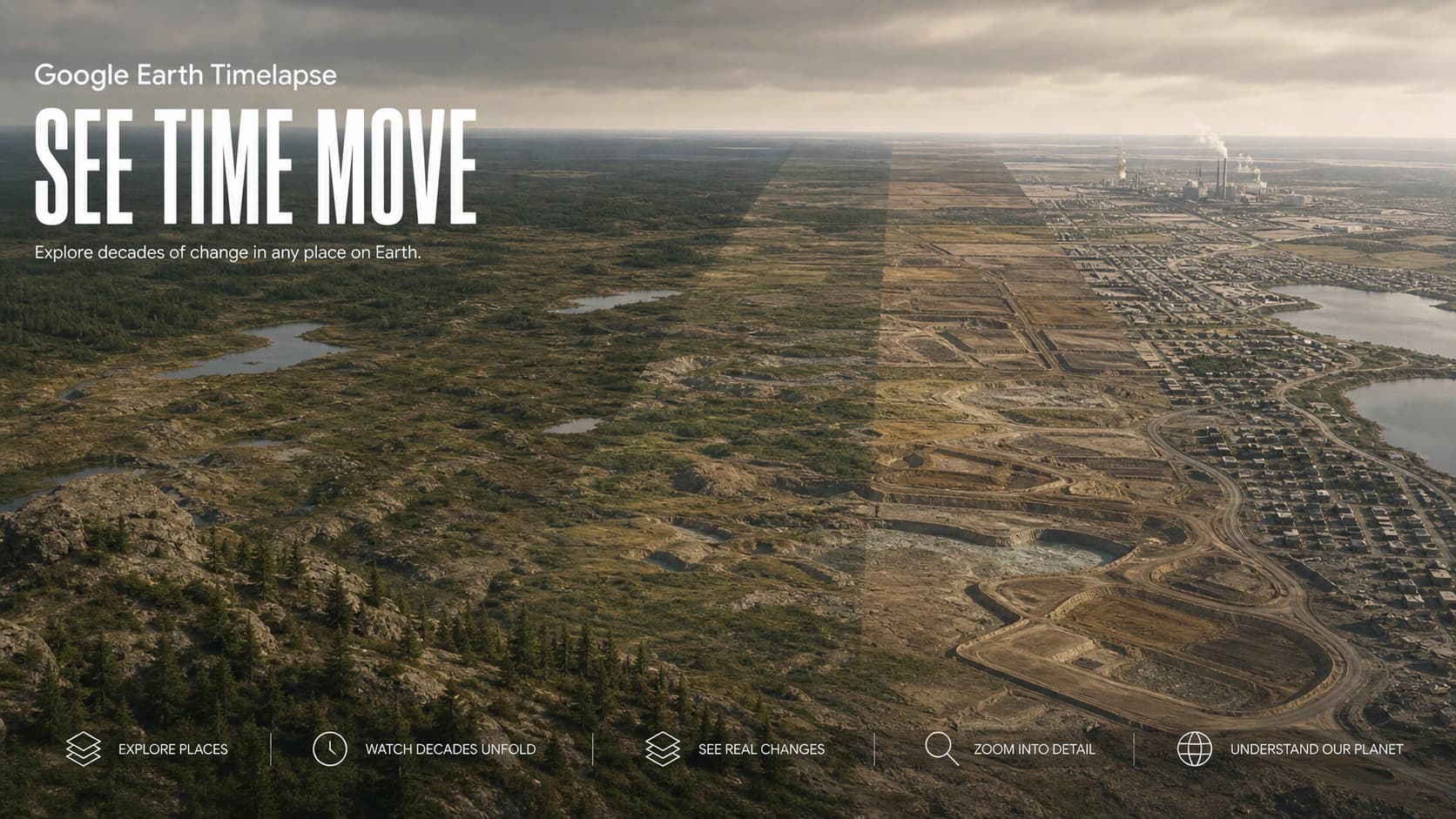
Google Earth Timelapse is a global, zoomable record of how the planet's surface has changed since 1984. It combines millions of satellite images into annual mosaics that can be played as a continuous animation or scrubbed manually. Users can move from a planetary view to a neighborhood, coastline, mine, forest, glacier, or growing city and watch decades pass in seconds. Curated locations highlight visible patterns such as urban expansion, deforestation, irrigation, changing rivers, retreating ice, and the construction of major infrastructure.
All of that processing disappears behind a simple act: choose a place and drag time. Familiar locations hit hardest. A childhood edge of town becomes a shopping district, a reservoir drains, or a coastline shifts while the calendar advances in the corner. Historical frames vary in sharpness, season, cloud, and color, so this is not precision evidence for every local dispute. It is something rarer on the web: a huge technical system that knows when to get out of the way and let the evidence move.
Shared by
Spotted and shared by a Biltib member“I searched for my childhood neighborhood first. Watching roads arrive, fields shrink, and the city slowly swallow the edges made thirty years feel both enormous and terribly quick. Timelapse stitches millions of satellite images into a globe you can scrub back to 1984, which is a cool technical achievement until you point it at a retreating glacier and it becomes something heavier. Some years are hazy and some places change quietly, but that imperfect record is still one of the web's great acts of memory.”